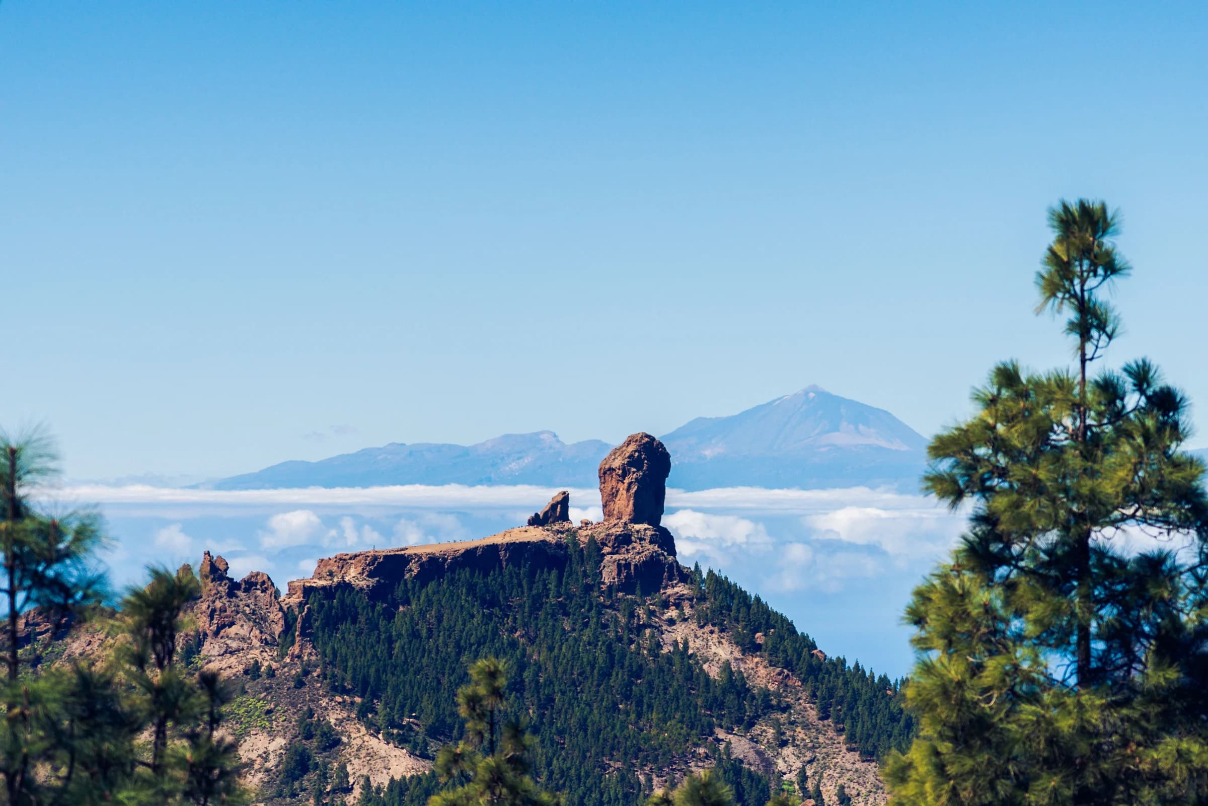
The centre of Gran Canaria is high and steep, with pine forest on its upper slopes. Around 43% of the island, most of the centre and south-west, is a UNESCO Biosphere Reserve, and the landscape around Risco Caído and the island's sacred mountains has been a World Heritage Site since 2019.
Where people walk
- Roque Nublo, the basalt rock that has become the island's symbol, is reached by a short path. Between 9:00 and 17:00 you need a free booking on grancanariasenderos.com. You now park in Tejeda or at Cruz de los Llanos and take the shuttle bus.
- Pico de las Nieves is the island's highest point, with views over the old volcanic crater and, on clear days, across to Tenerife.
- The caminos reales, the old "royal paths", link villages across the island. Farmers and pilgrims used them long before there were roads, and many of today's walking routes follow them.
- Barranco de Guayadeque, in the east, is a deep ravine with cave houses and easy walks.
Guided or on your own
Guided day trips from the resorts take care of transport, which matters in the mountains: roads are narrow and winding, and many good walks start in one village and end in another. Some tours combine a short hike with viewpoints and a meal, and others are full days of walking for fit hikers. Check the distance and climb in the listing.
Good to know
- The summit can be cold, windy or in cloud while the coast is sunny. Take a warm layer, water and sun protection whatever the forecast in your resort says.
- On days of high fire risk in summer, the authorities can close trails and mountain areas.
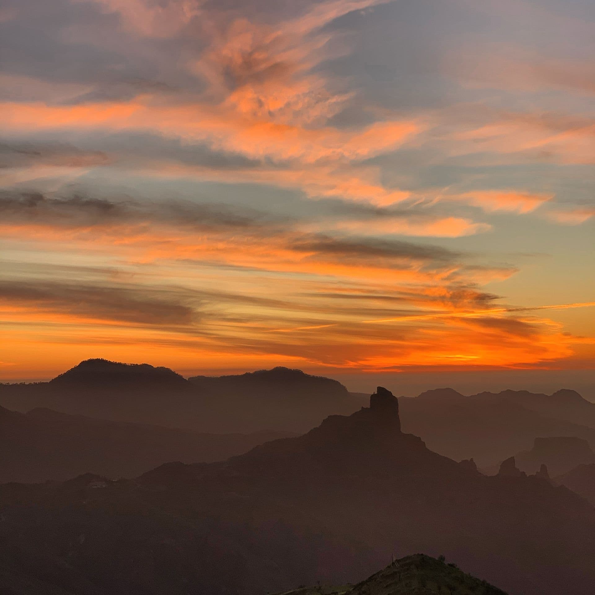
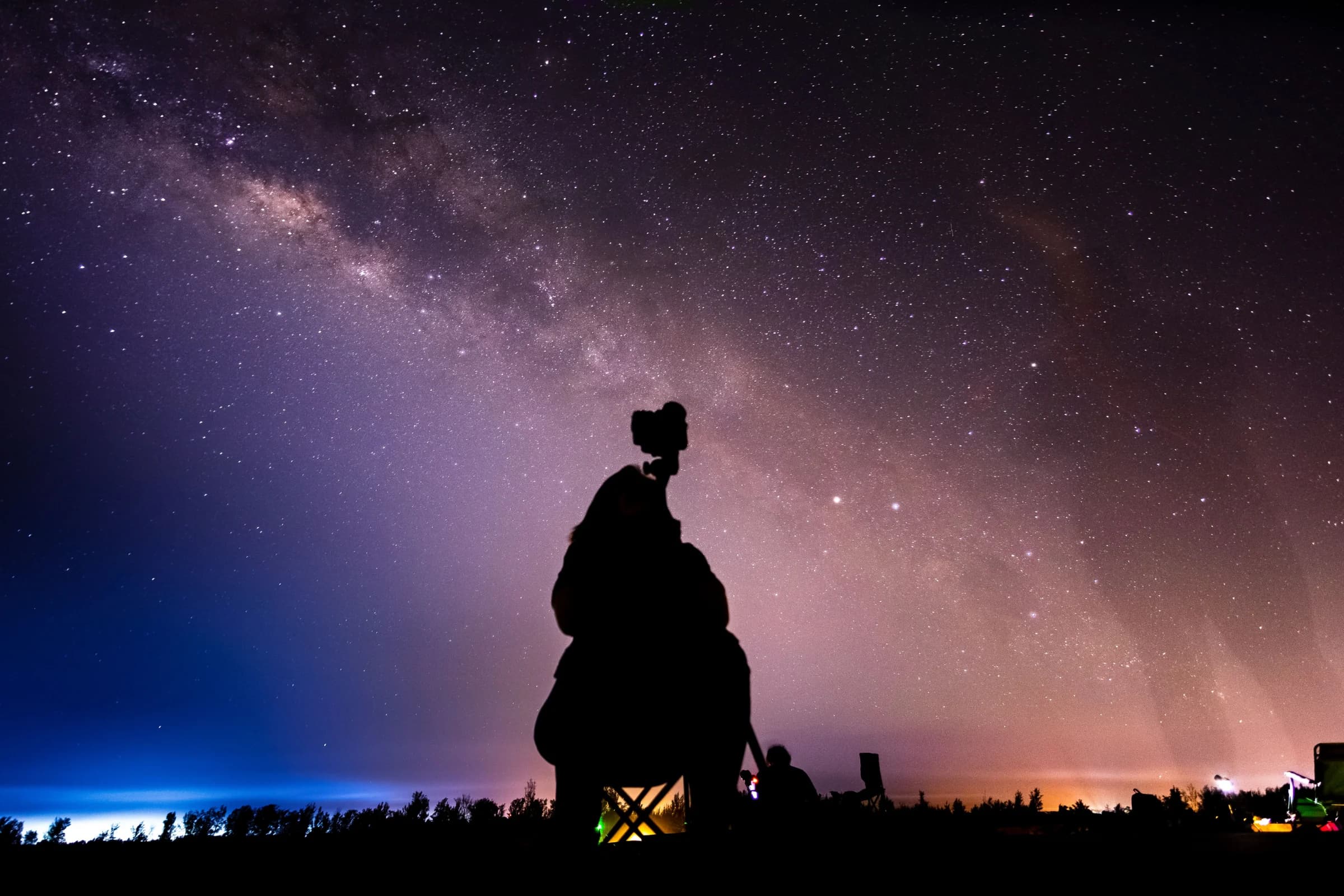
- Staying for sunset? The summit area is also one of the best places on the island to look at the stars.